Ice accumulations greater than 0.25″ are likely from the Red River Valley of Texas through the Ozarks and southeast Missouri, according to the Weather Prediction Center.
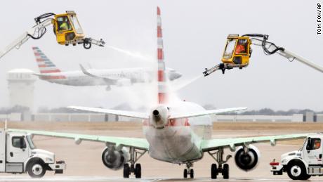
Additionally, some school districts in Texas, including in Dallas and Fort Worth, have canceled classes due to the expected hazardous driving conditions.
“Current forecast has the wintry mix ramping up with the travel conditions progressively getting worse into the early morning hours,” CNN meteorologist Michael Guy said.
He noted that plummeting temperatures are expected to freeze roads.
“Austin had temperatures approaching 90° on Tuesday, and within 24 hours were subfreezing — making it the largest 24-hour temperature drop on record, eclipsing the prior record of 51° set in years 1955, 1990 and 1994,” Guy said.
Meanwhile, Arkansas is expected to see the worst of the ice threat.
Up to 3/4 of an inch of ice are expected to form on roads stretching from Little Rock, Arkansas, to Jonesboro, a swath that includes Interstates 40 and 30.
“As values exceed 0.5 inches, the hazards increase as significant damage to the electrical grid will begin to take place and widespread tree and power line damage will be observed,” the Little Rock weather service said. “Travel will become near impossible with many roads blocked by fallen tree(s) and power line debris along with power outages in the range of hours to several days.”
What the Northeast can expect
The storm is expected to shift east on Friday, setting up a wintry mess in the Northeast with the potential for more ice concerns, especially in the Appalachians and Western Pennsylvania.
Forecasters predict the storm will dump substantial amounts of snow as well as cause ice accumulations as it churns into the southern New England region on Friday.
“Heavy snow is expected across Upstate New York and New England on Friday when snow rates will likely eclipse 1″/hr at times. Dangerous travel is likely,” the weather service tweeted.
Six inches of snow or more is expected across much of the Northeast and southern New England, with areas of Massachusetts likely to see almost a foot of snow. Boston could see about 9 inches by week’s end.
About 2.5 inches of snow are in store Thursday night for New York City, according to forecasts.
CNN’s Caitlin Kaiser, Judson Jones, Brandon Miller, Sharif Paget and Greg Wallace contributed to this report.