More than a foot of snow fell in Central Park Monday, in a snow storm that made the top 20 for New York City and one of the biggest ever for parts of northern New Jersey.
The relentless storm piled on 3 inches of snow an hour at times while wicked wind gusts caused blowing snow that limited visibility and drifts that buried parked cars to their windows.
RELATED: Snowfall totals around New York and the Tri-State area
The same areas that were hit hard earlier Monday will tack on even more snow — including areas of Northern Jersey, Westchester and Rockland County.
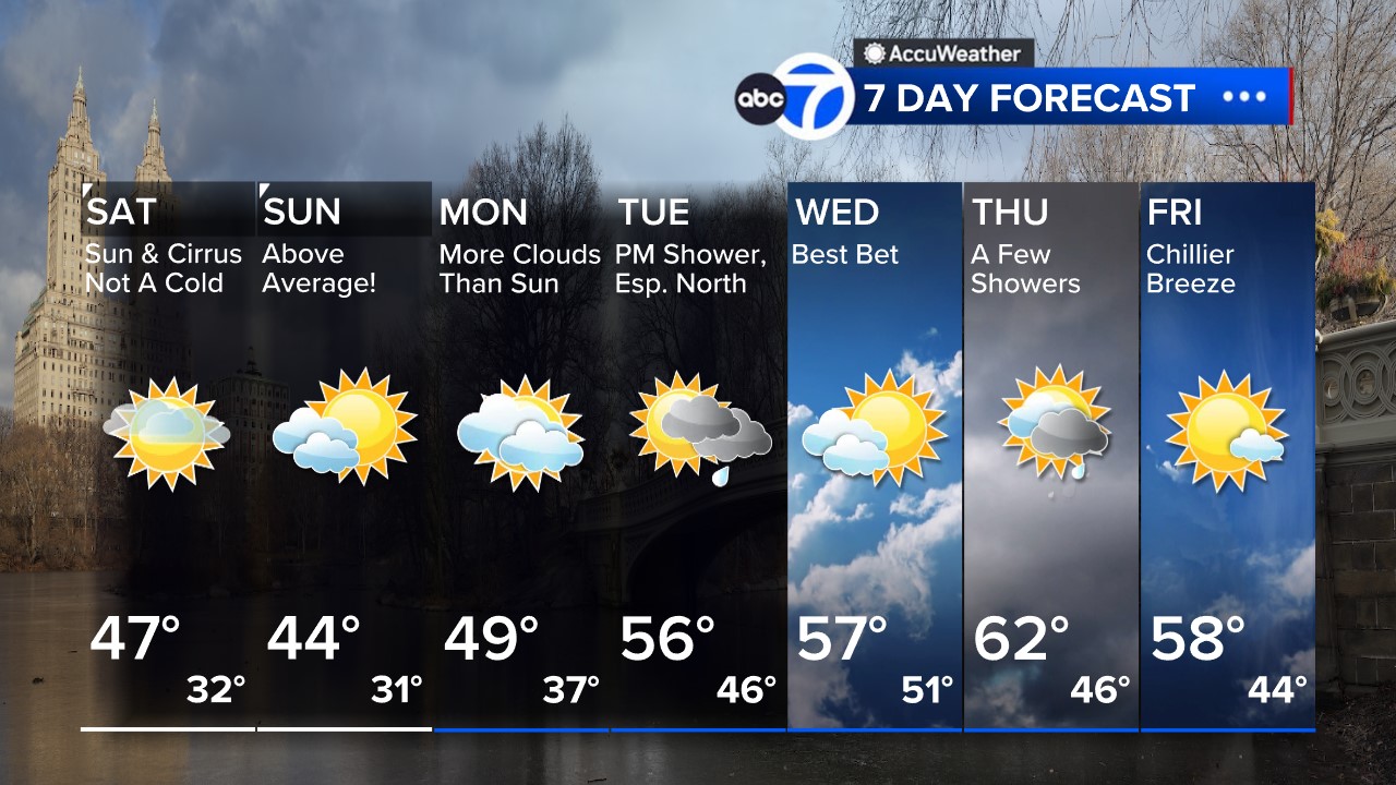
Meteorologist Lee Goldberg says expect waves of light to moderate snow Tuesday. It’ll start out as an early morning mix and then be met by colder air that turns into snow Tuesday evening through Wednesday morning.
Blowing and drifting will continue as winds stay gusty in the 30-35 mph range. The event could well last 48 hours, making it a rare snowstorm the likes of which we see every five to 10 years, ABC7 meteorologist Jeff Smith said.
Before it’s over, parts of New York City could see 18 inches of snow, with even higher amounts to the north and west as the heaviest snow shifts in that direction.
RELATED: School closings for New York, New Jersey and Connecticut
The winter storm warning continues on Tuesday as the storm slowly pulls away. It’ll still be blustery and chilly. Additional significant accumulation is not likely during the day Tuesday, but don’t be surprised to see a few more inches before the storm finally departs.
The snow itself will likely remain fluffy throughout the event, because it’s so cold, but could become wetter and heavier in coastal airs that see mixing.
Coastal areas will also have to contend with the risk of flooding from the powerhouse storm, with flood warnings in effect on Long Island until 3 a.m. Tuesday. These areas face a risk of moderate coastal flooding, but some areas could see major flooding.
There were also concerns that high tide could bring widespread moderate to isolated major flooding in vulnerable areas, areas like Freeport and Lindenhurst on Long Island and the South Shore back bays. The storm’s slow-moving nature will encompass several high-tide cycles, adding to the concerns.
RELATED: Live winter storm updates from around the Tri-State
Stay with the AccuWeather team for continuing updates.
SEND YOUR SNOW PHOTOS HERE:
ADDITIONAL WINTER STORM COVERAGE
Winter Storm Warnings issued by the National Weather Service
Snow Stream live winter storm updates
New York CIty declares state of emergency
Mass transit and travel information
Check AccuTrack Radar
School closings and delays
For weather updates wherever you go, please download the AccuWeather app.
Copyright © 2021 WABC-TV. All Rights Reserved.
