Tag Archives: winter weather

Natural gas failure, lower thermostats ‘immediately’

We Energies on Friday, Dec. 23 urged customers to reduce natural gas use by “immediately” lowering their thermostats to 60 to 62 degrees.

In a news release, the utility said the move will allow customers to stay safe, warm and help avoid a significant natural gas outage.

This request comes after an interstate pipeline supplier that provides natural gas to We Energies experienced a significant equipment failure that is limiting the amount of fuel they are sending, the utility said.

SIGN UP TODAY: Get daily headlines, breaking news emails from FOX6 News

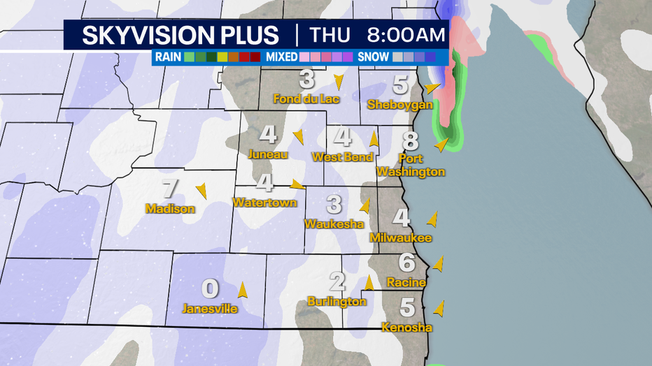
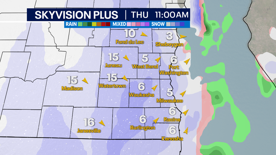
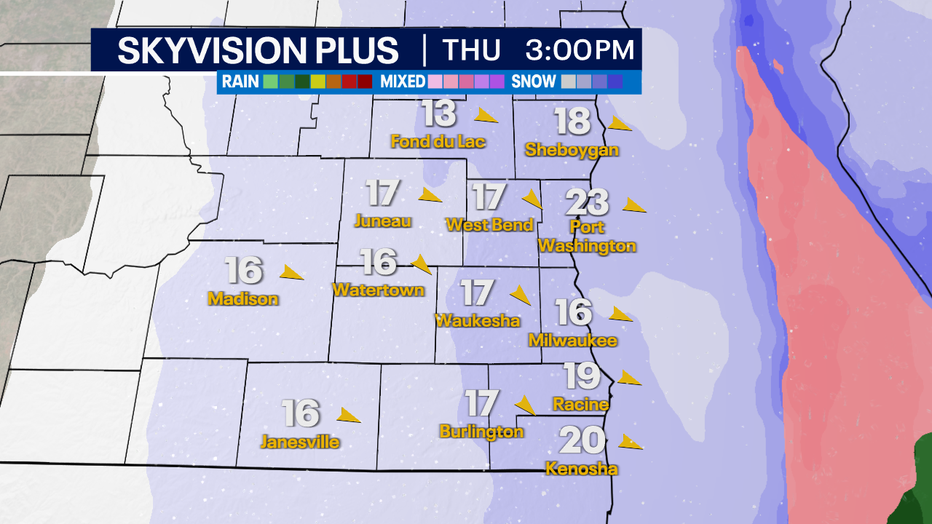
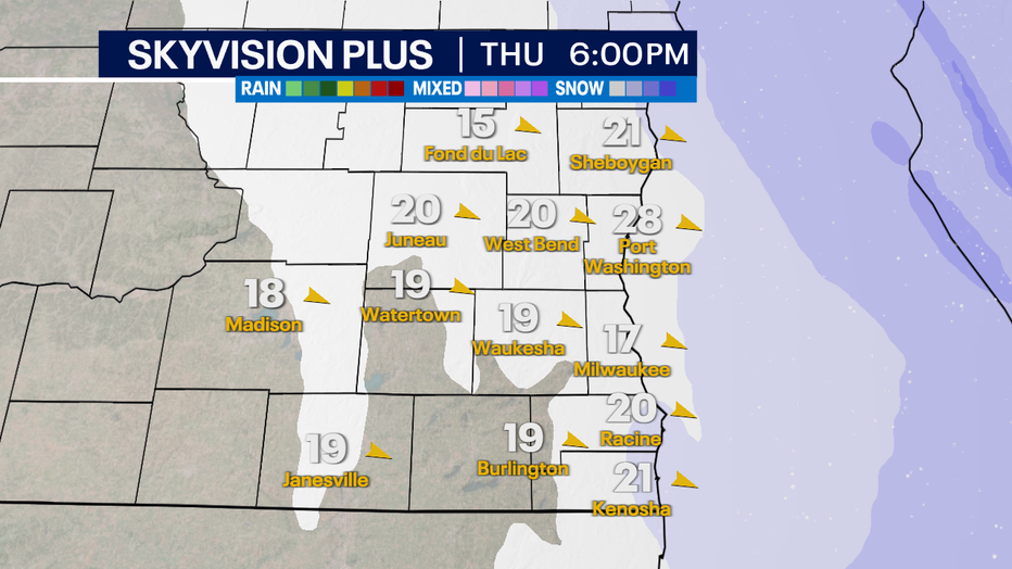
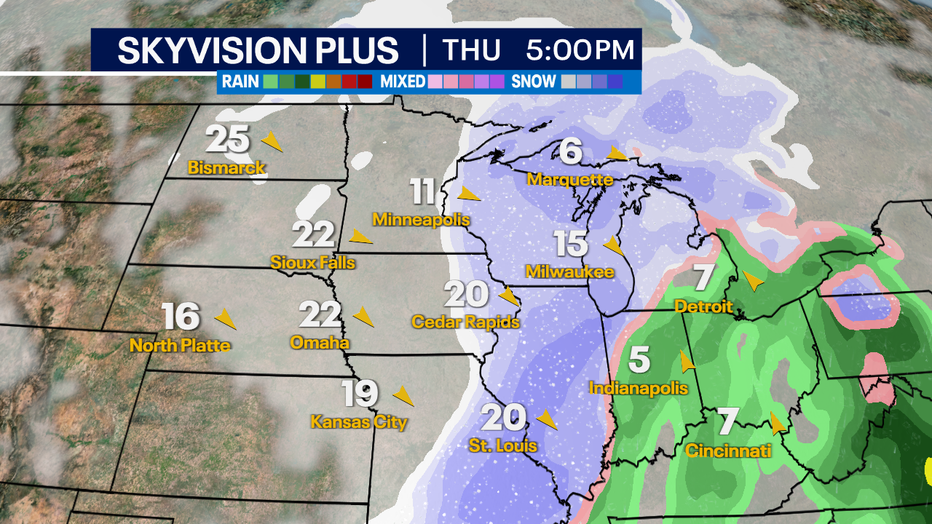
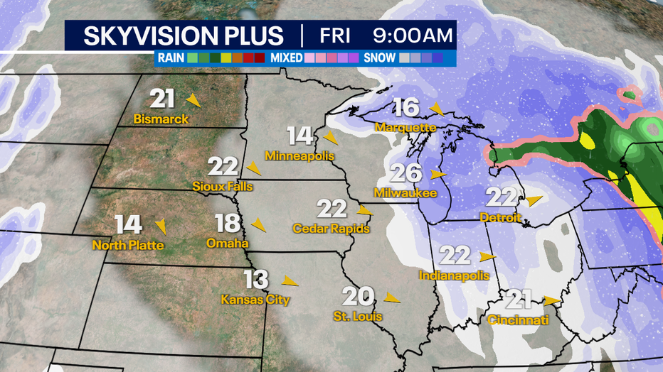
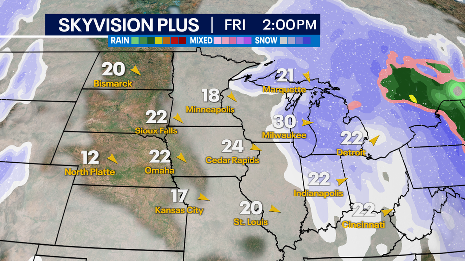
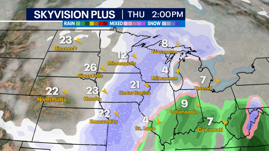
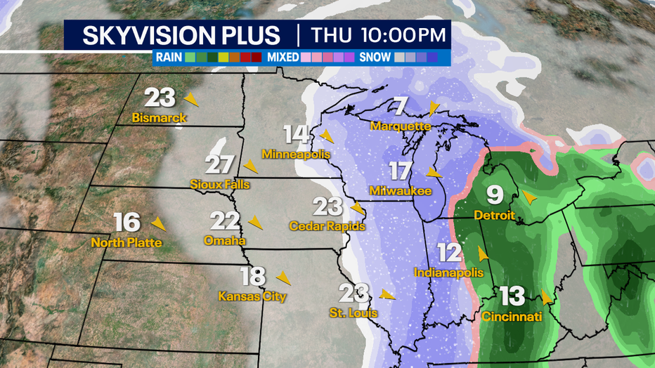
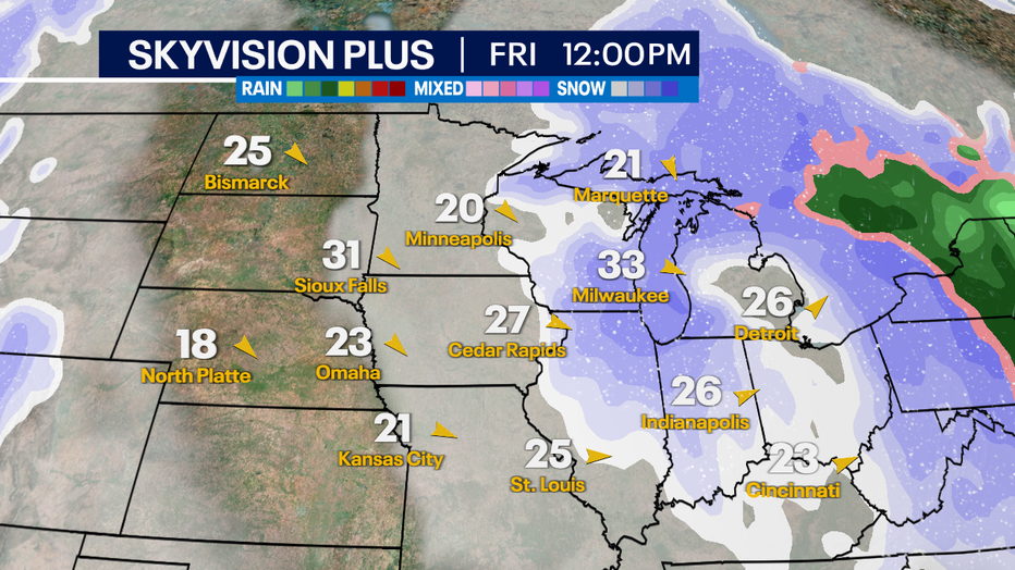
The impacted pipeline is one of multiple sources We Energies uses to receive natural gas. On a typical day, an issue like this would not require customers to reduce their usage. However, with extreme cold setting in over much of the U.S., We Energies said it is unable to receive additional natural gas from its other pipeline suppliers.

We Energies has already taken numerous steps to reduce demand for natural gas, the release said, including drawing from its liquefied natural gas and propane storage facilities, and reducing natural gas to business customers who have agreed to special billing in these types of events.

We Energies strongly urges customers to reduce their natural gas use by lowering their thermostats and avoid using other natural gas appliances like fireplaces, dryers or ovens.

The company is working to maintain service to emergency and critical facilities. Customers should take the following actions to help reduce natural gas demand:

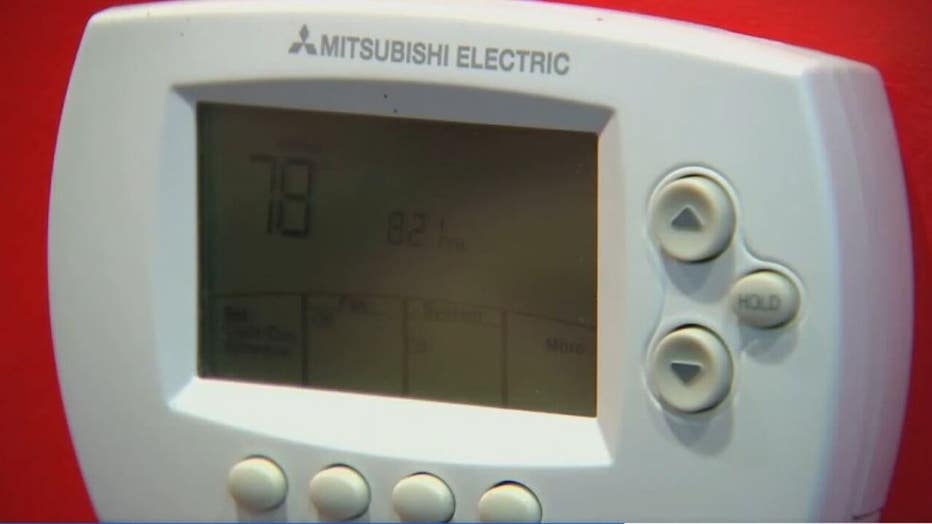
  • Set thermostats between 60 to 62 degrees. Add layers or blankets to keep warm when lowering a thermostat’s temperature.
  • Close blinds or drapes at night and avoid opening doors to retain heat. Open blinds during the day to let in heat from the sun.
  • Avoid using secondary natural gas heating sources, such as natural gas fireplaces.
  • Use natural gas ranges sparingly. Prepare food with slow cookers or microwaves.

FREE DOWNLOAD: Get breaking news alerts in the FOX6 News app for iOS or Android.

We Energies said it expects the shortage will last throughout the rest of the day Friday and will be reassessed Saturday.

Statement from We Energies:

We truly appreciate and thank our customers for your understanding and patience as we work to manage these challenging conditions and keep all of our customers safe and warm.

We will be working tirelessly to resume normal operations as soon as possible.

Read original article here

Southeast Wisconsin winter storm warning; blizzard conditions possible

A Winter Storm Warning has been posted for all of southeast Wisconsin from 9 a.m. Thursday, Dec. 22 through 6 a.m. Saturday, Dec. 24.

Monitor the FOX6 Weather Experts forecast for frequent updates. 

Forecast breakdown

Timeframe: Freezing drizzle was causing icing issues on Wednesday night ahead of the main system. This was transition to snow overnight Wednesday night into Thursday morning. Less than 1″ of snow  in Milwaukee through the Thursday morning commute, higher totals well northwest of Milwaukee (ie. Dodge, Fond du Lac Co.). Snow really picks up in Milwaukee between 10am-Noon Thursday. The wind will pick up after noon and really get strong after 6pm Thursday with WNW wind gusts to 30-60mph. Blizzard-like conditions possible at times Thursday night through Friday. Expect slow travel starting midday Thursday into Thursday night & Friday. Most of the snow will be done by mid-evening Thursday, but another round of light snow is possible from the north on Friday.

Amounts: The snow totals have come down in spots since prior forecasts, but this does not change the blizzard-like potential. 3-6″ of snow in Milwaukee and south, higher amounts north and northwest. It is now possible that we see additional snow on Friday wrapping around the storm from the north. If we do,the higher end totals will happen, if we don’t we will be on the lower end of the range. Again, the totals do not change the impact.

Impacts: Travel will be difficult midday Thursday through Friday. The strong winds continue on Saturday with blowing ground snow. Bitter cold air spills in on Friday with wind chills as low as -35 Friday morning and -20 during the day on Friday. Wind chills -15 to -35 on Saturday. Power outages are very possible because of west-northwesterly wind gusts between 30-60mph.

Snow Type: This will mainly be a fluffy variety of snow, as temperatures will plummet during the afternoon hours on Thursday. This will also mean reduced visibility.

A blizzard is defined as heavy snow with wind gusts of 35 mph or greater and reduced visibility to 0.25 mi. or less for three hours or more. We will be close to blizzard status at times Thursday evening. The last Blizzard Warning in SE WI (Walworth, Racine & Kenosha Co.) was in 2018. The last Blizzard Warning for Milwaukee County was 2011.

The wind will really pick up Thursday night into Friday creating these blizzard-like conditions. Expect significant travel delays both by air and car on Thursday evening and Friday. If you have plans to travel by air, stay up to date with your airline. It is possible to see power outages and interstate closers in parts of the upper Midwest Thursday night and Friday.

Forecast for 8am Thursday


Forecast for 11am Thursday


Forecast for 3pm Thursday


Forecast for 6pm Thursday

Thursday Afternoon Visibility Forecast

Thursday Evening Wind Gust Forecast

Friday Afternoon Wind Gust Forecast

Stay weather aware

Meanwhile, FOX6Now.com offers a variety of extremely useful weather tools to help you navigate the stormy season. They include the following:

FOX6 Storm Center app

FOX6 News app

FOX Weather app

MAPS AND RADAR

We have a host of maps and radars on the FOX6 Weather page that are updating regularly — to provide you the most accurate assessment of the weather. From a county-by-county view to the Midwest regional radar and a national view — it’s all there.

SCHOOL AND BUSINESS CLOSINGS

When the weather gets a little dicey, schools and businesses may shut down. Monitor the latest list of closings, cancellations, and delays reported in southeast Wisconsin.

FOX6 WEATHER IN SOCIAL MEDIA

Read original article here

Southeast Wisconsin winter storm watch; blizzard conditions possible

A Winter Storm Watch has been posted for all of southeast Wisconsin from 6 a.m. Thursday, Dec. 22 through 6 a.m. Saturday, Dec. 24. A blizzard continues to look likely across the area. 

Monitor the FOX6 Weather Experts forecast for frequent updates. 

Winter Storm Watch 6am Thursday to 6am Saturday

Forecast breakdown

Timeframe: Light, scattered snow Wednesday evening into Thursday morning. Snow really picks up Thursday afternoon and evening. Heaviest snow expected Thursday night into Friday morning. The wind will pick up Thursday afternoon and really get strong after 6pm Thursday with NW wind gusts to 30-60mph. Blizzard conditions possible at times Thursday night through Friday. It is not looking as snowy Friday, but blowing and drifting snow continues Friday and Saturday.

Amounts: The snow totals have come down, but this does not change the blizzard potential. 4-8″ of snow possible across much of southeast Wisconsin. The heavier Friday snow has moved east. This is lowering totals, however, a change in the storm track could keep snow going in SE WI on Friday. As of this post, the heaviest snow Friday is about 50 miles east over the lake. Snow totals could go up if the low moves west. Stay tuned for updates.

Snow Forecast now 4-8″. Blizzard conditions still expected Thursday night/Friday Morning

Impacts: Travel will be difficult Thursday night into Friday. The strong winds continue on Saturday with blowing ground snow. Bitter cold air spills in on Friday with wind chills as low as -25 Friday night, Saturday and Sunday morning.

Snow Type: This snow could start out as the wetter variety on Thursday but quickly become fluffy late Thursday night into Friday.

Thursday 5pm Forecast. Wind getting stronger with moderate snow.

Friday 9am Forecast. Snow tapering off with very strong winds.

Friday 2pm Forecast. Heaviest snow just east. Light snow & strong winds in SE WI.

A blizzard is defined as heavy snow with wind gusts of 35 mph or greater and reduced visibility to 0.25 mi. or less for three hours or more. The last Blizzard Warning in SE WI (Walworth, Racine & Kenosha Co.) was in 2018. The last Blizzard Warning for Milwaukee County was 2011.

The wind will really pick up Thursday night into Friday creating these blizzard conditions. Expect significant travel delays both by air and car on Thursday evening and Friday. If you have plans to travel by air, stay up to date with your airline. It is possible to see power outages and interstate closers in parts of the upper Midwest Thursday night and Friday.

Stay weather aware

Meanwhile, FOX6Now.com offers a variety of extremely useful weather tools to help you navigate the stormy season. They include the following:

FOX6 Storm Center app

FOX6 News app

FOX Weather app

MAPS AND RADAR

We have a host of maps and radars on the FOX6 Weather page that are updating regularly — to provide you the most accurate assessment of the weather. From a county-by-county view to the Midwest regional radar and a national view — it’s all there.

SCHOOL AND BUSINESS CLOSINGS

When the weather gets a little dicey, schools and businesses may shut down. Monitor the latest list of closings, cancellations, and delays reported in southeast Wisconsin.

FOX6 WEATHER IN SOCIAL MEDIA

Read original article here

Southeast Wisconsin winter storm watch begins Thursday morning

A Winter Storm Watch has been posted for all of southeast Wisconsin from 6 a.m. Thursday, Dec. 22 through 6 a.m. Saturday, Dec. 24. A blizzard is likely across the area. 

Monitor the FOX6 Weather Experts forecast for frequent updates. 

Forecast breakdown

Timeframe: Light snow Wednesday night into Thursday morning. Snow really picks up during the day Thursday into the afternoon. Several inches of snow possible Thursday, BUT the strong winds don’t arrive until after 6pm Thursday. Blizzard conditions Thursday night through Friday night. “Ground blizzard” on Saturday.

Amounts: In excess of 6″ of snow across the area, with over 12″ possible in spots.

Snow Type: This snow could start out as the wetter variety on Thursday but quickly become fluffy late Thursday night into Friday.

Impacts: Travel will be nearly impossible later Thursday night into Friday. The strong winds continue on Saturday with blowing ground snow. Bitter cold air spills in on Friday with wind chills as low as -25 Friday night & Saturday morning.

A blizzard is defined as heavy snow with wind gusts of 35mph or greater and reduced visibility to 0.25 mi. or less for three hours or more. The last Blizzard Warning in SE WI (Walworth, Racine & Kenosha Co.) was in 2018. The last Blizzard Warning for Milwaukee county was 2011.

The wind will really pick up Thursday night into Friday creating these blizzard conditions. Expect significant travel delays both by air and car on Thursday evening and Friday. If you have plans to travel by air, stay up to date with your airline. It is possible to see interstate closers in parts of the upper Midwest Thursday night and Friday.

2pm Thursday. Lighter winds but snow picks up.

10pm Thursday. Windy and very snowy.

Noon Friday. Blizzard Conditions

Stay weather aware

Meanwhile, FOX6Now.com offers a variety of extremely useful weather tools to help you navigate the stormy season. They include the following:

FOX6 Storm Center app

FOX6 News app

FOX Weather app

MAPS AND RADAR

We have a host of maps and radars on the FOX6 Weather page that are updating regularly — to provide you the most accurate assessment of the weather. From a county-by-county view to the Midwest regional radar and a national view — it’s all there.

SCHOOL AND BUSINESS CLOSINGS

When the weather gets a little dicey, schools and businesses may shut down. Monitor the latest list of closings, cancellations, and delays reported in southeast Wisconsin.

FOX6 WEATHER IN SOCIAL MEDIA

Read original article here

Winter Weather Advisory for Dallas-Fort Worth – NBC 5 Dallas-Fort Worth

What to Know

  • Rain develops around sunrise, changing to sleet-snow mix by mid-morning.
  • Bridges and overpasses will become slick
  • Accumulation is possible across Dallas-Fort Worth, especially farther north.

Another shot of winter arrived early Friday morning in North Texas. A cold front brought cold temperatures and a strong north wind.

A Winter Weather Advisory across North Texas was expanded overnight to include Fort Worth and Dallas. A wintery mix of rain, sleet, and snow is expected later today.

Locations in the advisory have the highest potential for having some slick spots, especially on bridges and overpasses.

In addition, a Wind Advisory is in effect for Friday for the potential for northerly winds gusting up to 45 mph.


An Arctic cold front pushed sharply colder air into North Texas early Friday. As temperatures fall into the low to mid-30s, rain will change to sleet and snow. In addition, the wind will be very strong from the northwest.

Problems will likely be more significant on the northern sides of the Metroplex. Accumulation of 1/2″ is possible in DFW with higher totals possible farther north. 1-2″ is possible to the north/northeast with the potential for a brief burst of heavy snow. That said, some slushy accumulation even on the main roads is possible.


Some slick travel is possible, especially on exposed, elevated surfaces such as bridges.


The winter mix will taper off by late afternoon. The sky will eventually clear out this evening as the temperature drops into the mid-20s tonight.


Saturday morning temperatures will be in the low to mid-20s. The day will be sunny with afternoon temperatures in the 50s. Expect a bigger warmup Sunday into next week.

It’s a return to winter today across North Texas. A Winter Weather Advisory is in effect until 6 p.m. for DFW.

Read original article here

Storm moves through Northeast, dumping nearly a foot of snow

A steady snow that started in the predawn hours brought nearly a foot of accumulation in some areas of the U.S. Northeast by the time it wound down late in the day

BOSTON — A snowstorm that started in the predawn hours Friday dumped nearly a foot of accumulation in some areas of the U.S. Northeast by the time it wound down late in the day, while other spots contended with a sloppy mix of sleet and ice.

The National Weather Service issued a winter storm warning for most of New England and eastern New York, and a winter weather advisory stretching from Ohio into coastal areas of southern New England and northern Maine.

By mid-afternoon, some areas of New England had received more than 10 inches (25 centimeters) of snow, and the weather service warned of a flash freeze in the evening hours as temperatures dropped from the low 30s into the low 20s, causing wet roads to freeze over, making driving dangerous.

Governors across the region urged residents to stay off the roads if possible, and slow down and keep a safe distance from plows if driving.

“If you don’t have to travel tomorrow, we urge you to consider staying home, and if you do need to travel, please use caution throughout the day,” Massachusetts Gov. Charlie Baker said in a statement late Thursday.

Major airports across the region reported hundreds of outgoing flight cancellations, including more than 300 at Boston’s Logan International Airport and more than 100 at Newark Liberty International Airport in New Jersey.

With travel treacherous, the New York State Thruway temporarily reduced the speed limit to 45 mph (72 kph) across a large stretch of the highway on Friday morning, and the speed limit on the Massachusetts Turnpike was reduced to 40 mph (64 kph).

Police reported multiple accidents. Massachusetts State Police reported a jackknifed tractor-trailer on the Braga Bridge in Fall River, and a tractor-trailer rollover on the Massachusetts Turnpike in Auburn.

Slick roads caused by the weather were blamed for four traffic fatalities in Missouri, the Missouri State Highway Patrol said. The victims included a 74-year-old Warsaw woman who died Friday after a crash a day earlier on Interstate 44 near St. Louis. The car she was a passenger in was going too fast for wet road conditions when it hit a concrete median barrier, authorities said.

The other victims were an 18-year-old man from Ballwin, a 52-year-old man from St. Peters and a 54-year-old man from Ashland.

Commuter rail service was temporarily suspended on a section of New Jersey Transit’s Morris and Essex Line after a tree fell on overhead wires in Chatham.

A commuter train was delayed in Massachusetts when it struck an unoccupied sidewalk snowplow that had been left on the tracks in Waltham. No one was hurt.

Public school children in many Northeast states were on vacation this week, but schools and colleges that were still open opted to either cancel classes for the day or make Friday a remote learning day.

Ski areas cheered the fresh snow that came after unseasonably warm temperatures earlier in the week.

“Mother Nature is officially confused as to how to spend her time, but she seems to have a great short-term plan for now,” Mad River Glen in Fayston, Vermont, said on its website Friday.

Read original article here

NJ snow: Winter storm brings more snow to New Jersey; Governor Phil Murphy declares state of emergency ahead of winter storm

PENNSAUKEN, New Jersey (WPVI) — A winter storm started bringing heavy snow into South Jersey very early Friday morning.

The period of steadiest snow will be between 1 a.m. and 5 a.m. The snow is expected to end between 6 a.m. and 9 a.m.

Parts of the region could see between 4″ to 6″ of snow.

A Winter Storm Warning is in effect in the following New Jersey counties: Atlantic; Camden; Cumberland; Eastern Monmouth; Gloucester; Northwestern Burlington; Ocean; Salem; Southeastern Burlington; Western Monmouth.

Along the New Jersey coast and in southeastern Pennsylvania, a Winter Weather Advisory is in effect due to the winter storm.

Amtrak has canceled the following trains on the Northeast Corridor: 182, 129, 172, 177, 183, 184, 86, and 84.

New Jersey Gov. Phil Murphy declared a state of emergency on Thursday due to the storm.

The emergency declaration, which allows resources to be deployed throughout the state during the duration of the storm, went into effect at 10 p.m.
Murphy also said state offices will open at 11 a.m. for non-weather essential personnel.

“The anticipated winter storm is forecasted to bring significant snowfall statewide, with snowfall rates approaching 2 inches per hour in certain areas and heavy wind gusts,” said Governor Murphy. “Residents should stay off the roads, remain vigilant, and follow all safety protocols.”

In Atlantic City, road crews prepared for their second snow event in a week. Residents did, too.

“I feel like we just had it, and it’s two days later and we’re getting ready to get more snow. I guess we’re playing catch up right now,” said Ashley Mims of Atlantic City.

Monday’s storm brought 13″ to the Atlantic City International Airport — that’s more snow than the city saw in all of last winter.

City officials said Thursday they have been preparing for this storm since Monday.

“As we were dealing with our last storm several days ago, we were also preparing for another one that would hit us several days later,” said Atlantic City Fire Chief Scott Evans.

Atlantic City residents and visitors were asked to move their cars from major roads. Parking is free in the Wave Parking Garage until Saturday.
Ocean City picked up the highest snow total in our area on Monday with 14″ of snow.

The roof of a dry cleaning business on Asbury Avenue collapsed under the weight of the snow.

City officials said crews were going to work overnight to prepare roads and plow this round of snow, encouraging residents to limit travel in the morning.

State officials said resources are ready to clear the roads, but still asked that drivers stay home.

“We spent the day reloading our salt domes, making sure there was material stretched across the state, and everyone will have the materials that they need. And we have coordinated with Pennsylvania on a commercial truck ban,” said NJ DOT Commissioner Diane Gutierrez-Scaccetti.

Gutierrez-Scaccetti also said crews did not brine state roads Thursday, explaining that there was enough residual salt on the roads from the last storm.

Copyright © 2022 WPVI-TV. All Rights Reserved.


Read original article here

Big California storm dumps snow, drenches parched regions

A major storm hitting Northern California is expected to intensify and bring travel headaches and threats of flooding and mudslides after an abnormally warm fall in the U.S. West

SAN FRANCISCO — Winter arrived early in Northern California with wind, rain and snow that was expected to intensify Monday as forecasters warned that mountain passes will probably be closed to traffic and areas burned by wildfires could face rockslides and mudslides following an especially warm and dry fall across the U.S. West.

The multiday storm, a powerful “atmospheric river” weather system that is sucking up moisture from the Pacific Ocean, raised the threat of flooding and was expected to dump more than 8 feet (2.4 meters) of snow on the highest peaks in California and Nevada and drench other parts of the two states before it moves on midweek, forecasters said.

“This is a pretty widespread event,” said National Weather Service meteorologist Anna Wanless in Sacramento. “Most of California, if not all, will see some sort of rain and snow.”

The storm will bring much needed moisture to the broader region that’s been gripped by drought that scientists have said is caused by climate change. The latest U.S. drought monitor shows parts of Montana, Oregon, California, Nevada and Utah are classified as being in exceptional drought, which is the worst category.

Most western U.S. reservoirs that deliver water to states, cities, tribes, farmers and utilities rely on melted snow in the springtime.

This week’s storm is typical for this time of the year but notable because it’s the first big snow that is expected to significantly affect travel with ice and snow on the roads, strong winds and limited visibility, Wanless said.

Drivers on some mountain passes on Sunday had to put chains on their tires and were warned of possible road closures in coming days.

“Travel will be hazardous and is highly discouraged,” the weather service office in Sacramento said on Twitter. Heavy rain could cause minor flooding and rockslides, especially in areas that scarred by wildfires, forecasters said.

Gusts were so strong in and around San Francisco that state transportation officials issued a wind advisory for the Bay Bridge that connects the city with Oakland and warned drivers of campers and trailers to avoid the 4.5-mile (7.2-kilometer) span late Sunday.

South of the San Francisco Bay Area, a 40-mile (64-kilometer) stretch of the iconic Highway 1 in California’s Big Sur area was closed as a precaution until Tuesday. The scenic coastal route frequently experiences damage during wet weather.

Nearby Monterey County residents who live close to burn scars from last year’s Dolan Fire were warned to be prepared to evacuate if rains loosen hillsides and cause debris flows.

In Southern California, the San Bernardino County sheriff’s department issued evacuation warnings for several areas, citing the potential for flooding, and Los Angeles County fire officials urged residents to be aware of the potential for mud flows.

Forecasters said strong winds accompanying the storm could lead to power outages. Karly Hernandez, a spokesperson for Pacific Gas & Electric, said crews and equipment are staged across the state to respond quickly if the power goes out.

The second storm predicted to hit California midweek shortly after the current storm moves on could deliver almost continuous snow in mountainous areas, said Edan Weishahn of the weather service in Reno, which monitors an area straddling the Nevada state line.

Donner Summit, one of the highest points on Interstate 80 and a major commerce commuter route, could face major travel disruptions or road closures, Weishahn said.

The weather follows a November that was unseasonably warm for California.

Vail Resorts’ three Tahoe-area ski resorts opened with limited offerings over the weekend after crews produced artificial snow. Spokeswoman Sara Roston said the resorts are looking forward to more of the real thing.

The Sierra Avalanche Center warned heavy snow and strong winds on top of a weak snowpack could cause large and destructive avalanches.

One man died Saturday in a backcountry area of the Crystal Mountain ski resort in Washington state when he was caught in an avalanche that temporarily buried five others.

———

Weber reported from Los Angeles.

Read original article here

NATIONAL WEATHER SERVICE Issues winter weather advisory in PA

National Weather Service issues winter weather advisory in the Susquehanna Valley for Monday

WGAL News 8 winter weather coverage


>> THE STORM TEAM FORECAST WITH METEOROLOGIST ETHAN. METEOROLOGIS BACK-TO-BACK DAYS ACROSS THE VALLEY AND INFECTED EIGHT, IT WAS OUR SECOND SUNNY DAY OF THE MON, 30% CLOUD COVER OR CLOSE TO ZERO THROUGHOUT THE DAY AND WE ARE STARTING TO SEE SOME PASSING CLOUDS MOVE-IN BUT WE WILL STAY DRY UNTIL EARLY TOMORROW MORNING. WE ARE 34 DEGREES UNDER A MOSTLY CLEAR SKYPE WITH A LIGHT BREEZE OUT OF THE SOUTH AT SEVEN MILES PER HOUR AND IT MADE 238 AFTER A MORNING LOW. AHEAD OF OUR NEXT SNOW MAKER WHICH WILL GET HERE TOMORROW MORNING AND WE WILL START FALLING INTO THE MID 20’S, THE LOWS WELL HOLD IN THE UPPER 20’S, MATE SEE AS THEIR SHOWER AS YOU GET CLOSER BUT BE PREPARED OR WIDESPREAD SNOW TO DEVELOP DURING THE MORNING, ESPECIALLY RIGHT AROUND RUSH HOUR AND THAT IT WILL TAPER OFF IN THE EARLY AFTERNOON AS THE WINTRY MIX SWITCHES TO RAIN. LOOKING FOR CHELATION THROUGHOUT THIS BUT WITH TEMPERATURES IN THE CLOSE TO 40 DEGREES, I DO EXPECT AN IMPACT ON TRAVEL WILL IMPROVE BUT BECAUSE OF THIS INCOMING LIGHT SNOW, YOU HAVE A WINTER WEATHER ADVISORY THAT GOES INTO EFFECT TOMORROW MORNING BUT ENDS TOMORROW AFTERNOON. AROUND A FIVE HOUR WINDOW THAT WE COULD GET THIS SNOW. THAT IS A CHANCE THAT THIS NOTE WILL BE ROUGHER BETWEEN 7:00 A.M. AND NOON. 9:00 A.M. UNTIL 2:00 IN THE AFTERNOON AND RIGHT NOW 34 DEGREES IN HARRISBURG, YOU CAN SEE WE TURN ON THE SATELLITE, WE ARE STARTING TO SEE THOSE CLOUDS MOVE INTO WESTERN PENNSYLVANIA BUT HERE’S THE STORM. IT IS MOVING VERY QUICK AND IT IS MOVING ACROSS THE GREAT LAKES. PRETTY MILD COMPARED TO WHERE THEY HAVE BENT OVER THE PAST COUPLE OF WEEKS, 240 DEGREES IN SPRINGFIELD AND IT IS BACKED IN THE 40’S OVER THE DAKOTAS SO WATCH WHAT HAPPENS HERE YET, HERE WE ARE AT 11:00 VERY CLOUDY AND A NICETOWN SHOWER OVERNIGHT — WESTERN COUNTY AND IT COULD PICK UP IN INTENSITY JUST IN TIME FOR THE MORNING RUSH ACROSS THE VALLEY, TEMPERATURES WILL HOLD NEAR THE FREEZING MARK UNTIL AROUND LUNCHTIME AND THEN WE WILL SEE THE SNOW TAPER OFF AND AS IT DOES, I DO EXPECT WARM AIR TO MOVE IN AND SWITCHING OVER MOST OF THE SNOW INTO A MIX OF RAIN AND’S TO JUST PLAIN RAIN AND THAT IT COMES. AS TEMPERATURES RISE TO THE UPPER 30’S AND HEADING INTO MONDAY, WE WILL SEE A LITTLE BIT MORE SUNSHINE IN THE MORNING BUT LATER IN THE AFTERNOON, SEE SOME AREAS OF SPRINKLES BUT IT WILL BE MILDER WITH HIGHS IN THE LOW TO MID 40’S SO IF YOU ARE TRAVELING BEFORE 7:00, COULD SEE SNOW COME DOWN AT ABOUT AN INCH PER HOUR. ALSO THROUGH 4:00 BUT AFTER 4:00 , RISING THROUGH THE UPPER 30’S AND EXPECTING LOW IMPACTS FOR THE EVENING RUSH. ONE TO THREE INCHES OF SNOW, COULD BE A LITTLE HIGHER FOR AREAS NORTH AND NORTHEAST OF LEBANON. WE ARE IN THE MID-50’S BY WEDNESDAY, LATE WEDNESDAY NIGHT AND THURSDAY AND FRIDAY ARE DRY WE COULD SEE SOME RAIN AND SNOW SHOWERS. FOR MOST OF THE WEEK AHEAD. TEMPERATURES

National Weather Service issues winter weather advisory in the Susquehanna Valley for Monday

WGAL News 8 winter weather coverage

Shortly before 2:30 p.m. on Sunday the National Weather Service issued winter weather advisories for several Susquehanna Valley counties.The winter weather advisory will be in effect from 8 a.m. Monday to 3 p.m. in the following counties:Dauphin.Lancaster. Lebanon.York. The following counties are under the winter weather advisory from 6 a.m. to 1 p.m. on Monday:Adams.Cumberland.Juniata.Mifflin.Perry. The NWS expects light snowfall up to 4 inches in elevated areas. It says the snow could be heavy at times, with fall rates of an inch an hour during the late morning and early afternoon hours. The service advises drivers to plan for slippery roads and hazardous conditions that could affect your morning commute. The Pennsylvania Department of Transportation and the Pennsylvania Turnpike Commission reminds motorists to adjust their speeds as the winter weather impacts roadways.WGAL News 8 is tracking the storm. Stay with us on air and online for updates.

Shortly before 2:30 p.m. on Sunday the National Weather Service issued winter weather advisories for several Susquehanna Valley counties.

The winter weather advisory will be in effect from 8 a.m. Monday to 3 p.m. in the following counties:

  • Dauphin.
  • Lancaster.
  • Lebanon.
  • York.

The following counties are under the winter weather advisory from 6 a.m. to 1 p.m. on Monday:

  • Adams.
  • Cumberland.
  • Juniata.
  • Mifflin.
  • Perry.

The NWS expects light snowfall up to 4 inches in elevated areas. It says the snow could be heavy at times, with fall rates of an inch an hour during the late morning and early afternoon hours.

The service advises drivers to plan for slippery roads and hazardous conditions that could affect your morning commute.

The Pennsylvania Department of Transportation and the Pennsylvania Turnpike Commission reminds motorists to adjust their speeds as the winter weather impacts roadways.

WGAL News 8 is tracking the storm. Stay with us on air and online for updates.

Read original article here

Federal Regulators Plan to Investigate Massive Texas Power Outage – NBC 5 Dallas-Fort Worth

Federal regulators have opened an inquiry into what caused the massive power outages across Texas. The Federal Energy Regulatory Commission (FERC) confirms it will investigate along with the North American Electric Reliability Corporation. FERC is the same agency that examined the last major winter power outage in Texas in 2011, and then offered recommendations aimed at preventing a repeat in the future.

On Wednesday, a group of North Texas congressmen sent a letter demanding answers from ERCOT, the agency that manages the state’s power grid. The letter asks what ERCOT did to prepare ahead of this major storm?

Meanwhile, NBC 5 Investigates has uncovered new information showing, less than a week before the storm, ERCOT officials gave assurances that the state’s power plants were ready to weather the elements, raising more questions about how such a massive failure of the state’s power system could happen.

During the storm ERCOT said, 40% of the state’s generators – four out of every 10 – were knocked offline. Those generators account for 46,000 megawatts of power, enough electricity to power roughly 9.2 million homes.

“I think it’s safe to say that the weatherization efforts have failed, they’ve not been able to keep capacity online during this extreme weather”, said Jesse Jenkins an energy expert at Princeton University’s Center for Energy and the Environment.

Jenkins said key questions for investigators will include what power plant operators did to protect equipment from the cold, and what ERCOT did to make sure those plants were ready.

“And after the last close calls and rolling blackouts in 2011, efforts were supposed to have been made to weatherize the system against cold. And it’s clear that those efforts were not up to the task,” Jenkins said.

NBC 5 Investigates found ERCOT meeting records on ERCOT’s website showing, just five days before the storm hit, ERCOT CEO Bill Magness assured the group’s board of directors in a meeting, “We’re ready for the frigid temps to come our way”. 

He said the agency had issued a notice to power plants to ensure they were winterized properly.

In September ERCOT’s annual winter assessment designed to ensure the state is prepared, assured the public there would be enough power to meet peak demand this winter.

But then when the bitter cold arrived, dozens of power plants were knocked off-line, putting millions of Texans in danger.

At a news conference Wednesday, NBC 5 Investigates asked ERCOT CEO Bill Magness how he and his agency can be trusted after assuring the public the state was prepared.

Magness responded saying, “The people who folks in Texas really need to trust to lead us out of this crisis are those operators who are working on 24/7 shifts to make decisions that will keep the system safe.”

“The blame can be assessed very soon,” Magness said, “Blame will surely be assessed.”

NBC5 Investigates also tried to reach Sally Talberg, the chair of ERCOT’s board of directors, which oversees the agency.  Talberg did not return the call.  An ERCOT spokesperson also said that no board members will be available for interviews because their priority is restoring power right now.

ERCOT confirmed Wednesday that it has no mandatory rules to require power plants to prepare for the winter, only voluntary guidelines.

ERCOT says power generating companies have incentive to be ready, because they can’t make money if they aren’t able to make electricity.

A group that represents power generators, Texas Competitive Power Advocates, issued a statement saying power plants were in fact winterized and ready for the storm — but that the weather the state has seen has been unprecedented.


Read original article here