The crater in the center of this HiRISE image defines where zero longitude is on Mars, like the Greenwich Observatory does for the Earth. Credit: NASA/JPL-Caltech/UArizona
Although the photo above isn’t new (it was captured by the High-Resolution Imaging Science Experiment (HiRISE), on the 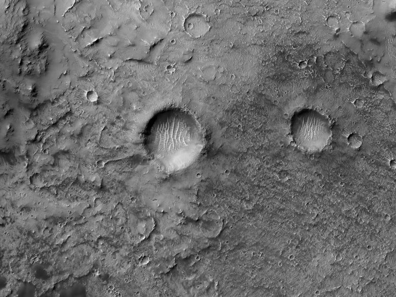
Zooming out a bit, we see the Airy-0 crater is a wider context. Credit: NASA/JPL-Caltech/UArizona
The larger crater that sits within this crater, called the Airy Crater, originally defined zero longitude for Mars, but as higher resolution photos became available, a smaller feature was needed. This crater, called Airy-0 (zero) was selected because it did not need to adjust existing maps.
These days, longitude on Mars is measured even more precisely using radio tracking of landers such as InSight, but everything is still defined to keep zero longitude centered on this crater.
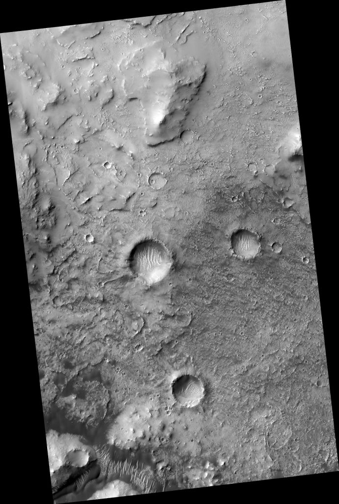
The full view image shows more of the surrounds of the Airy-0 crater on Mars. Credit: NASA/JPL-Caltech/UArizona
This image was captured by the High-Resolution Imaging Science Experiment (HiRISE), on the Mars Reconnaissance Orbiter. The map is projected here at a scale of 50 centimeters (19.7 inches) per pixel.
For more recent image of stunning craters on Mars, see Martian Brain Freeze: Mars Express Reveals Utopia Planitia.